Agroforestry Maps Identify Areas of Greatest Benefit
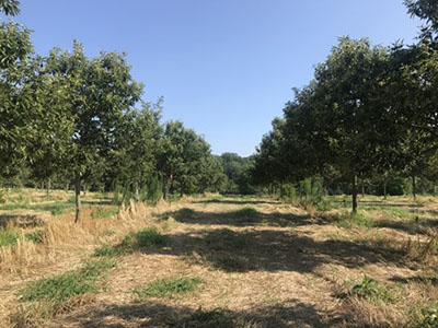
Scientists from the University of Illinois Urbana-Champaign and the University of Notre Dame collaborated to develop a decision support tool for agroforestry in the Midwest that combines environmental, social, and economic considerations. The team developed a map that identifies areas where agroforestry could deliver the biggest impacts in terms of soil erosion, water quality, climate, and profitability for lands that are not viable for other crops. The mapping tool will be freely available to landowners and resource professionals and can deliver results based on a range of different parameters. The developers believe the tool could help increase agroforestry adoption by helping landowners identify agroforestry practices that meet their specific objectives and budget.

 CAST
CAST