
 Canva Pro
RAFI Guide Helps Southeast Farmers Experiencing Drought
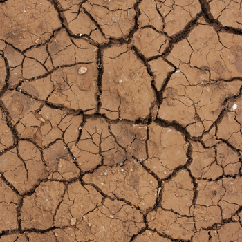
Rural Advancement Foundation International-USA (RAFI) has posted a guide to help farmers in the Southeast deal with drought conditions there this spring. The online resource includes sources of information on drought conditions, listings of financial assistance options for farmers affected by drought, and discussion of mitigation strategies for smaller-scale producers. The guide also offers advice on record keeping procedures to implement that can help producers if they need to apply for drought assistance programs.
Related ATTRA publication: Drought and Disaster Resources for Texas Producers
